 Chronicle
Storm Boelo: yellow wind warning for Derbyshire from midday Saturday to 9pm Sunday
• A Met Office yellow warning for wind covers Derbyshire from 12pm on Saturday 24 October until 9pm on Sunday 25 October.
• Gusts of 55 to 65mph are likely widely, with 70 to 80mph or more possible in some exposed areas, mainly in Scotland and the far north of England.
• The Met Office says flying debris could cause injuries or danger to life, and power cuts and travel disruption are possible.
• The warning follows a separate yellow wind warning for Storm Austen, which covered Derbyshire on Friday.
Storm Boelo is expected to bring a very windy and wet spell to the Peak District this weekend. The Met Office has placed Derbyshire under a yellow warning for wind from midday on Saturday until 9pm on Sunday, after bringing the start time forward and extending the warning area further south on Friday morning. Strong winds are forecast to spread across northern parts of the UK on Saturday afternoon with heavy rain, then persist overnight and through much of Sunday before easing. The forecaster says tiles may be blown from roofs, branches or trees could come down, and some roads may close.
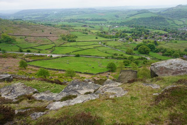
Photo: Curbar from Curbar Edge, looking over the Derwent valley. Bill Boaden / Geograph, CC BY-SA 2.0
Source: Met Office; Derbyshire Times. Linked: Met Office.
The Met Office has issued a yellow warning for wind covering Derbyshire, including the Peak District villages around Calver, from 12pm on Saturday 24 October until 9pm on Sunday 25 October. The warning was updated at 10.01am on Friday, when the start time was brought forward and the warning area was extended further south.
The forecaster says Storm Boelo will bring a very windy and wet spell this weekend, with some disruption likely across parts of the northern UK. Strong winds are expected to spread across northern areas during Saturday afternoon alongside spells of heavy rain, with very windy conditions persisting overnight and through much of Sunday before gradually easing from the southwest.
Gusts of 55 to 65mph are likely widely
Gusts of 55 to 65mph are likely widely, the Met Office says, with some coastal and exposed areas potentially seeing gusts of 70 to 80mph or more. The strongest gusts are most likely across Scotland and the far north of England, where an amber warning is also in force.
The Met Office rates the yellow warning as a medium likelihood of significant impacts. It says injuries and danger to life from flying debris are possible, and that tiles could be blown from roofs and large branches or trees blown over. Road, rail, air and ferry services may be affected, some roads and bridges may close, and power cuts may occur, potentially affecting mobile phone coverage.
Some roads and bridges may close, and power cuts may occur
The Derbyshire Times reported that the storm follows a separate yellow wind warning for Storm Austen, which was in place across Derbyshire from 10am to 9pm on Friday 23 October.